“The visual representations of Ireland that we encounter often depict a very specific, stereotypical view of the island. Through this research project, I want to look at how land is allocated, used, and visually represented through the many open data sets around our different environmental habitats.
By researching what makes up the different parts of Ireland, I aim to create work that focuses on showcasing a wider variety of what exists here, as well as breaking down stereotypical imagery, and hopefully educating people on a wider spectrum of what one can find and experience here in Ireland.”
At the end of 2021, I applied for funding from the Open Data Engagement Fund to create work surrounding how the different aspects of Ireland are visualised. My application was successful, and I’m really excited to get to share this project with you this year. Today, I’m going to share my ideas for the project, and over the next few months I’ll be sharing my research developments and field trips.
But let’s start somewhere near the start.
Whenever I want to explain what it is I like to research, I usually start with the following question;
Have you ever been to New York? How about Egypt?
Okay - when you think the word Egypt, what images come into your head? Exactly - sand, and the sphinx, and some pyramids.
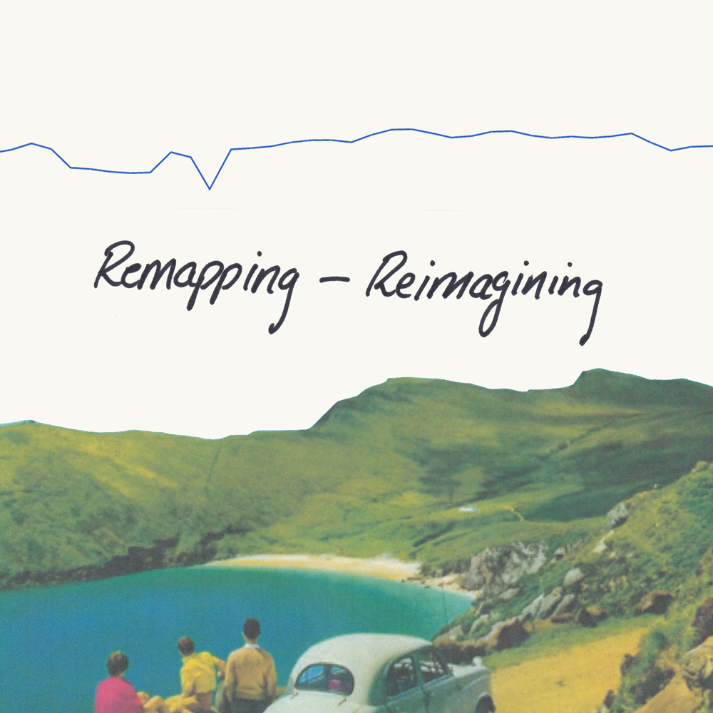
So, what do you think an American sees when they think of Ireland, even though they’ve never been here? What do you think, when you think the word “Ireland”?
I’m really interested in how those mental images are created.
If it’s a passing conversation, that’s typically as far as it goes. But here, we can go a bit deeper.
There ends up being two ideas of a place - the “real” and the “imagined”. This concept of a place having two ‘realities’ was developed by Edward Said in his work Orientalism (1) and is known as ‘Imaginative Geographies’. In his writing, Said developed imagined/imaginative geographies to be a critique of how places and spaces are perceived through images, texts, and cultural discourses, and how that can become a valued perception of a place over how the place or space itself exists in reality.
When asked to visualise Ireland, the same process occurs for many people - be they living in Ireland, or abroad. Quite often, Ireland is represented as a very wild, green landscape, with vibrant flora and fauna.
And so, for this project, my research will look into the open data behind Ireland’s land use, and create visual work exploring how much (or little) of Ireland might fit into these prominent visual representations. The goal of this work will be to explore and create visual work that will aid in broadening the understanding and engagement possibilities with our outdoor spaces and landscapes.
To do this, I’m using “Open Data”. The concept of Open Data is about making information held by public bodies in Ireland available and easily accessible online. It gives everyone access to non-personal government data - from which anyone can work to see how the many, many different layers of Ireland fit together. This information is accessible via the governments Open Data Portal - data.gov.ie. On their website, they describe the Open Data Initiative as a programme,
“designed to benefit society by increasing the amount of governmental data available to the public, promoting enhanced innovation and fair competition. Many of the apps we use on our phones on a daily basis rely on Open Data. Who leaves their house without checking the weather, the time of the next bus or goes to the beach without looking up the water quality, tidal times or parking facilities? Data.gov.ie is the central portal which provides access to all governmental open data.”(2)
So what can you find in open data? At the time of writing, there are 13,355 datasets listed on the site. You can follow wildlife corridors in Co. Roscommon, browse through the most borrowed items from Cork City Libraries, spend days reading through Met Éireann’s Live Text Forecast Data,(3) and plan a walking route between each tree in the Fingal County Council area.
For me, the datasets that caught my eye to start with were the Special Areas of Conservation (SAC’s), a break down of the different vegetation areas as well as predominant habitat types, the places now considered built up areas of Ireland and our townlands.
(I think right around here is where I could make some sort of joke about whether you can “take the girl out of the mountains …”)
One of the datasets that will be integral to this exploration of map-making is the Digital Elevation Model of Ireland, from NASA's Shuttle Radar Topography Mission (SRTM).
My goal for the project is to create non-typical maps of Ireland that highlight these different layers to the landscape. The project will also see me visit and walk through some of these places, documenting the experience. The goal of this work is to create visual maps and artwork that will aid people in understanding and engaging with our outdoor spaces in new and different ways.
One of the stipulations of this project is that the results of it will be free for others to read, explore, and even reinvent. And that is where this blog comes in. Everything I create will be shared online here, for anyone to see. My hope is to also create a small publication and have an exhibition of the work - both of which will be documented and shared here as well.
Said, Edward W. Orientalism. Brantford, Ont., W. Ross Macdonald School, Resource Services Library, 2006.
Open Data Initiative, and Department of Public Expenditure and Reform. “About Data.gov.ie - Data.gov.ie.” Data.gov.ie, data.gov.ie/pages/aboutdata-gov-ie. Accessed 30 Mar. 2022.
I swear, every time I open up a new dataset, a new beautiful project unfolds. My first reaction to the text lines of Met Éireann’s weather forecasts mentioned above can be seen in the second image in this blog post. Imagine a project to pair a daily image with the daily text report? Or if you had the previous year’s worth of daily weathers, to then photograph the daily weather, one year later?
Reimagining these text lines will have to be saved for another time …
This project is funded through the Open Data Engagement Fund. This is a competitive fund designed to provide support towards promoting the use of open data on the national Open Data Portal data.gov.ie. Learn more about the fund here.