Reimagining
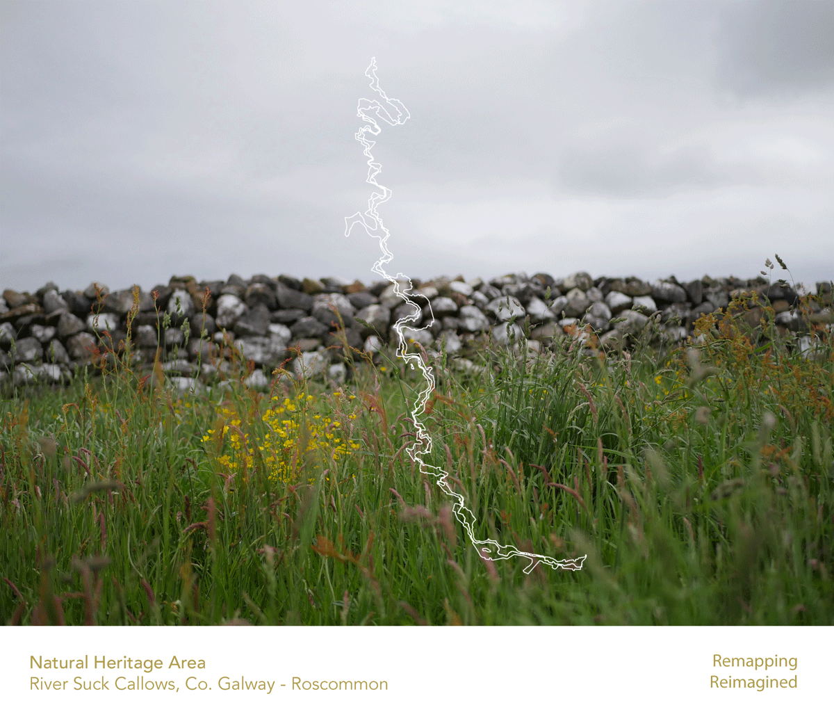
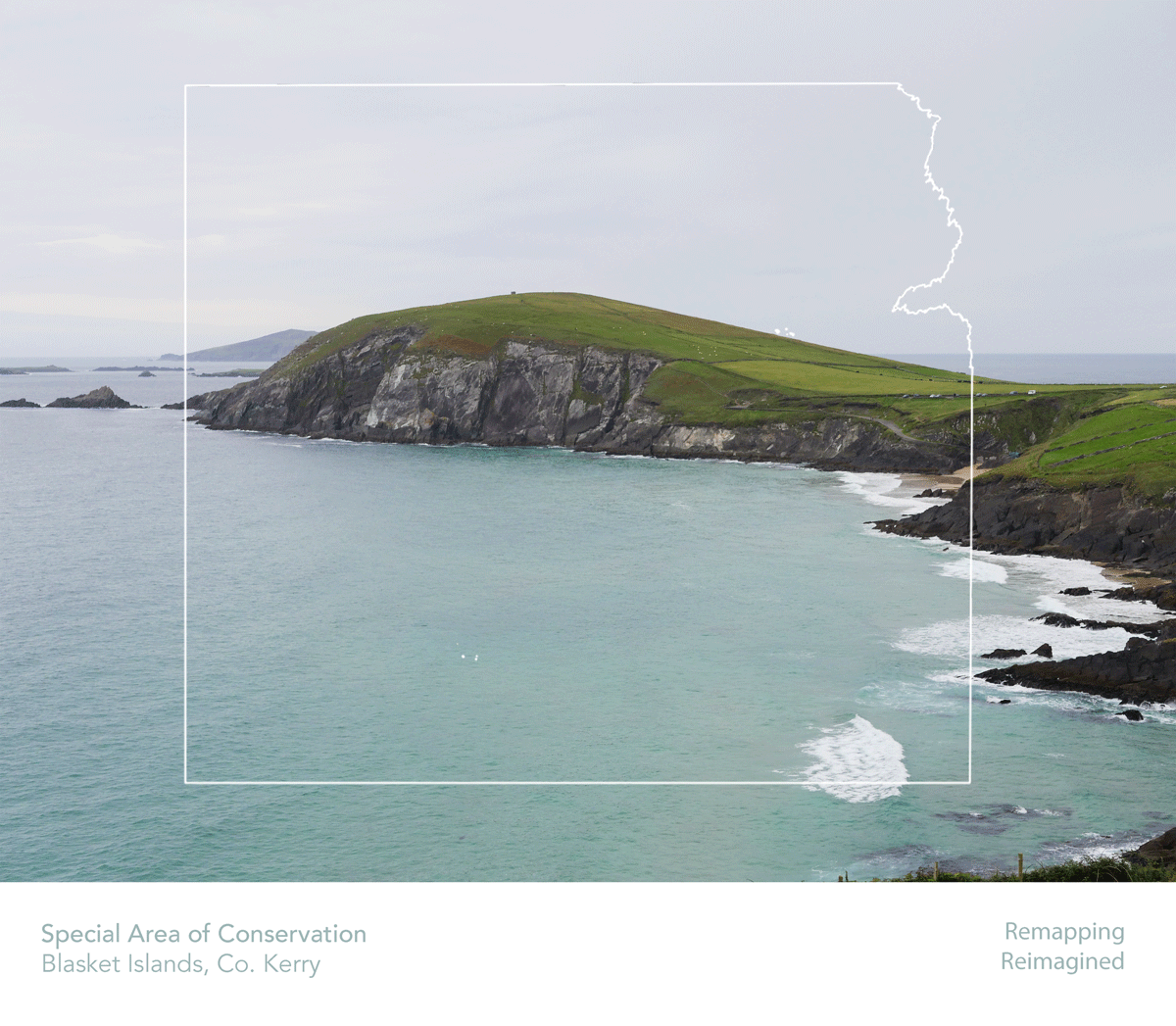
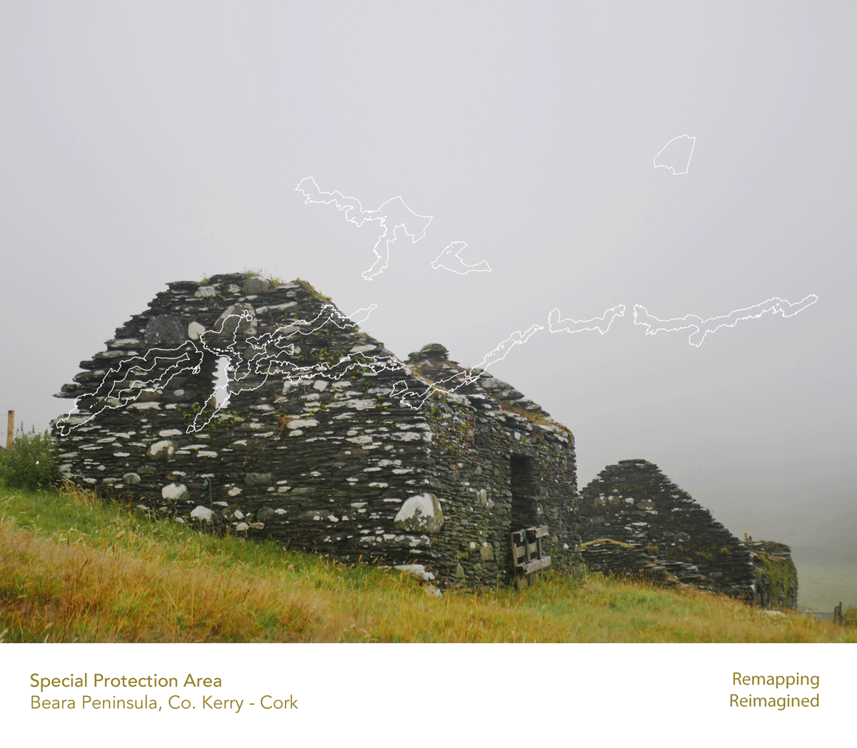
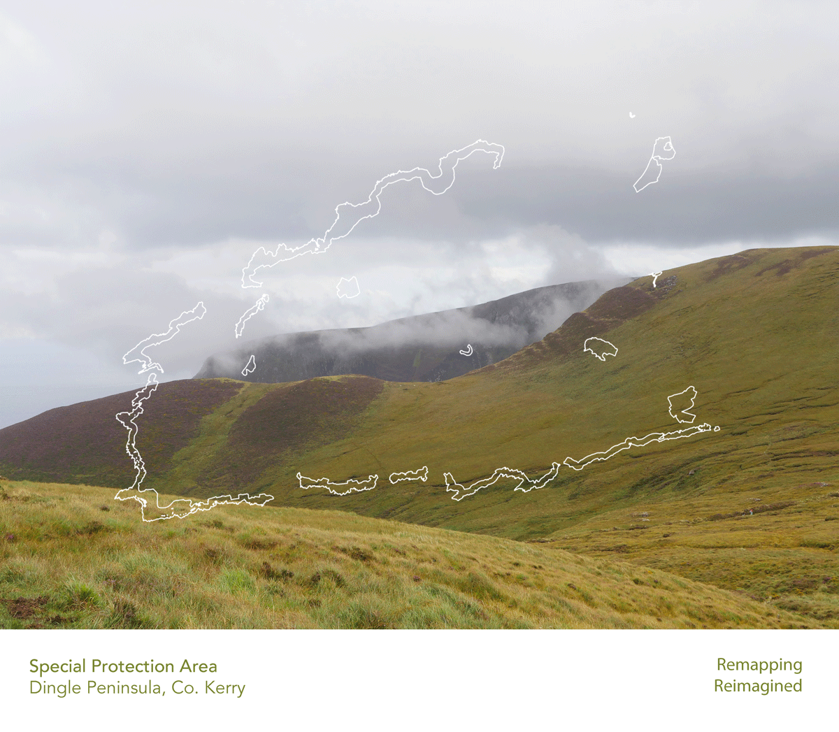
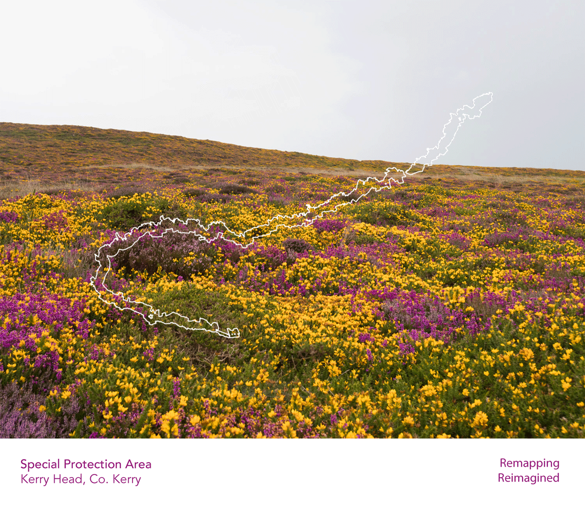
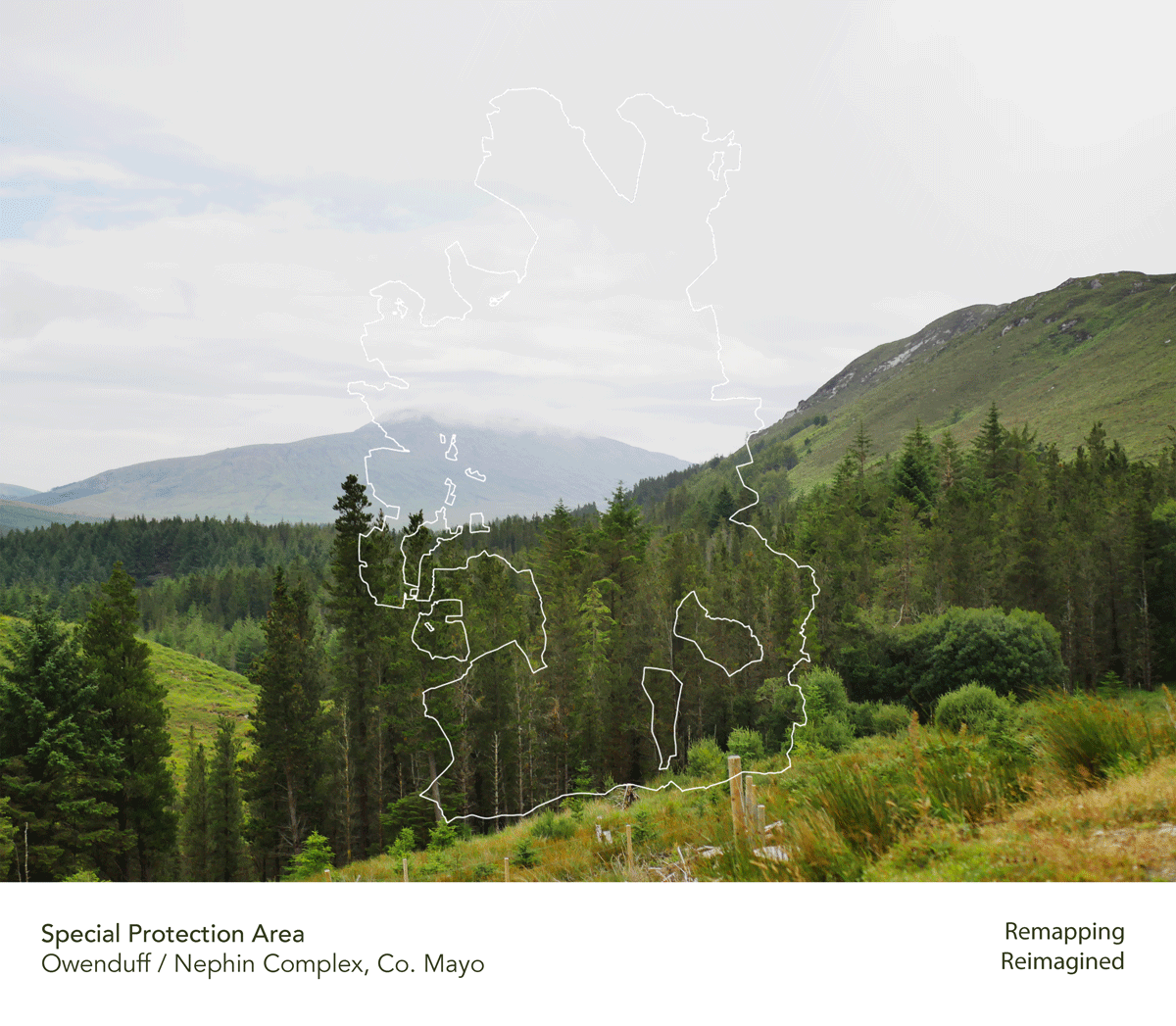
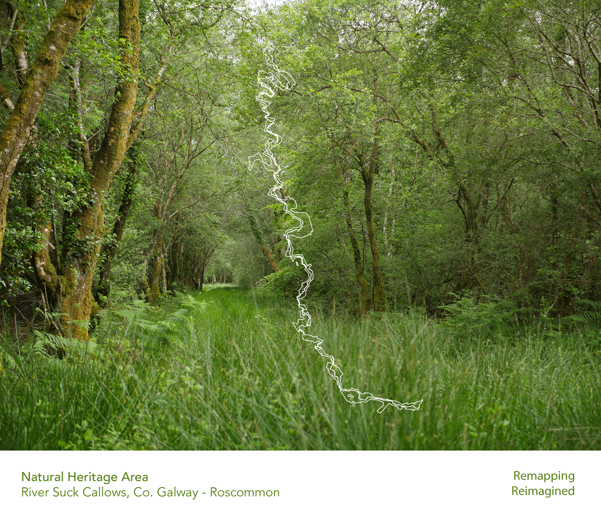
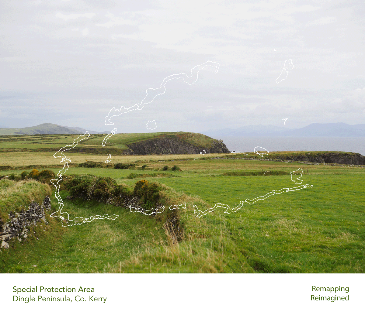
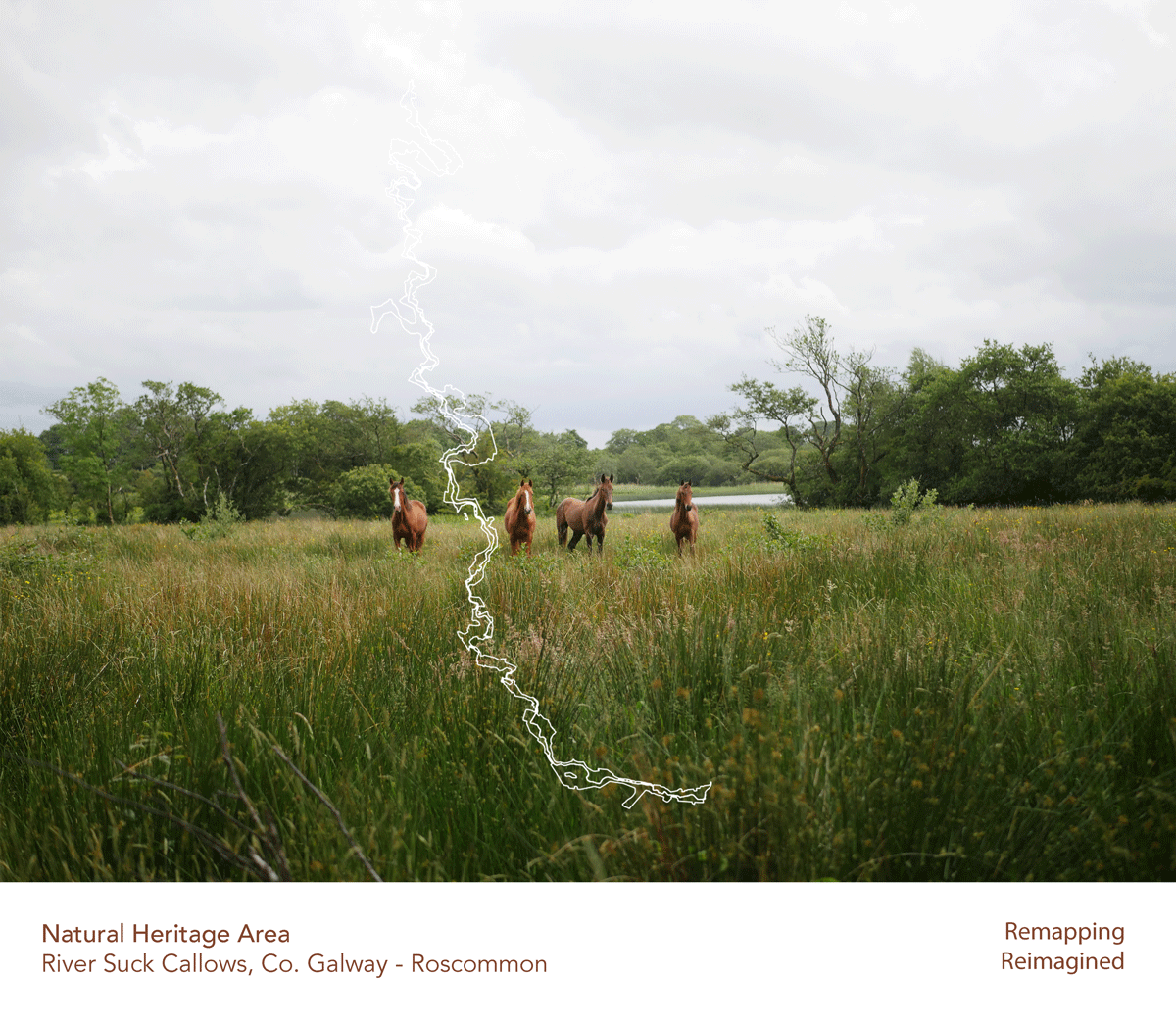
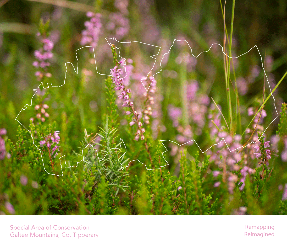
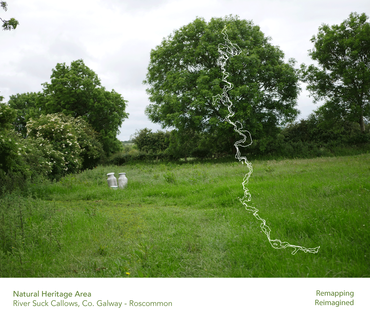
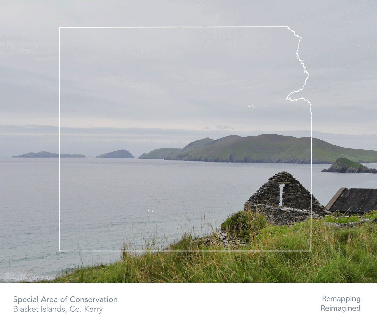
As part of my Remapping, Reimagining project I’ve been visiting and collecting images of different areas within my chosen data sets; Special Areas of Conservation, Special Protection Areas, and Natural Heritage Areas. These areas are spread across the country, and highlight the amazing diversity this island has in terms of both national and EU habitats and ecosystems.
This series features the map shapes of each area paired with a related image, layering space and place.
The datasets used to create the above work are:
Other datasets that influenced and were part of my research for this project include; the different vegetation areas as well as predominant habitat types; places now considered built up areas of Ireland and our townlands; as well as the Digital Elevation Model of Ireland.
This project is funded through the Open Data Engagement Fund. This is a competitive fund designed to provide support towards promoting the use of open data on the national Open Data Portal data.gov.ie.
Learn more about the fund here.